Summary’╝Ü
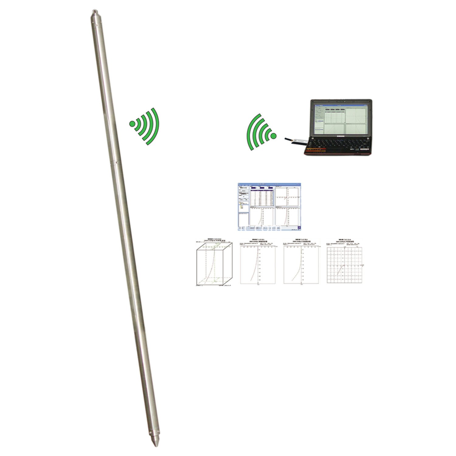
TR-JTL-40FR wireless high precision fiber optic gyroscope inclinometer is using high-precision fiber optic gyroscope as a measuring element of the new inclinometer instrument to measure borehole inclination and azimuth for magnetic mines and iron sleeve specially designed drill inclinometer hole for angle magnetic mines and iron casing vertical or directional bore and high-precision measuring azimuth; widely used in metallurgy, engineering, hydrology, oil, coal, geological borehole logging areas.
Main technical features’╝Ü
1. Using high-precision FOG as azimuth measuring device, small size, long life, shock and vibration resistant capability is strong, small zero drift, is the magnetic area and the azimuth angle of the ideal orientation sensor measurement iron casing drilling.
2. Application-optimized digital signal processing to optimize the measurement system, accurate measurement of angle and azimuth angle ,the measurement results to achieve high precision requirements; use the dynamic compensation technology to eliminate gyroscope zero drift, to realize the zero drift high precision measurement.
3. Do not need to ground directional, you can always measure the true north azimuth drilling, saving time and effort, to ensure the accuracy of measurement.
4. A ground computer measurement configuration is transmitted to the underground measuring probe tube, and from downhole measurement probe tube returns the range, angle measurement data.
5. The computer ground data processing, preservation, making three-dimensional projection and flat trajectories.
Main technical specifications’╝Ü
1. Measurement range:
Angle: 0 ┬░ ~ 50 ┬░;
Azimuth: 0 ┬░ ~ 360 ┬░.
2. Measurement accuracy:
Angle measurement error: Ōēż ┬▒ 0.2 ┬░;
Azimuth measurement error: Ōēż ┬▒ 2 ┬░ (angle 3 ┬░ ~ 50 ┬░);
Ōēż ┬▒ 3 ┬░ (angle 1 ┬░ ~ 3 ┬░).
3. Measuring depth: 1500m (temperature Ōēż 60 Ōäā).
4. Measurement: measurement point.
5. Charging power: AC (100 ~ 240) V, 50Hz.
6. Environmental temperature: -10 Ōäā ~ 55 Ōäā.
7. Wireless distance: more than 10m.
8. Dimensions: downhole probe ╬”40mm ├Ś 1600mm

Main technical specifications
1. Measurement range:
Angle: 0 ┬░ ~ 50 ┬░;
Azimuth: 0 ┬░ ~ 360 ┬░.
2. Measurement accuracy:
Angle measurement error: Ōēż ┬▒ 0.2 ┬░;
Azimuth measurement error: Ōēż ┬▒ 2 ┬░ (angle 3 ┬░ ~ 50 ┬░);
Ōēż ┬▒ 3 ┬░ (angle 1 ┬░ ~ 3 ┬░).
3. Measuring depth: 1500m (temperature Ōēż 60 Ōäā).
4. Measurement: measurement point.
5. Charging power: AC (100 ~ 240) V, 50Hz.
6. Environmental temperature: -10 Ōäā ~ 55 Ōäā.
7. Wireless distance: more than 10m.
8. Dimensions: downhole probe ╬”40mm ├Ś 1600mm

